Nepal, a country with a total land area is up to 147.181 sq. km consisting of water area is 3.830 sq. km is located between China and India in the south, east, and west. If you might know, the geographical coordinates of Nepal are 28°00′N 84°00′E and the country falls in the temperate zone north of the Tropic of Cancer. The ecological zones in Nepal are diverse in which, one runs from east to west about 800 km along the Himalayan axis and two others, respectively, run from north to south about 150 – 250 km and is vertically intersected by the river systems. There are three main geographical regions in Nepal that are Himalayan Region where the highest point in the country – the mountain Everest (8.848 m) situated, mid-hill region, and Terai region.
Nepal Geography – The Terai & Midland Region
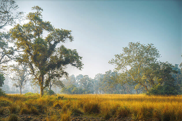
Talking in more detail about the Terai region, with a width of ranging that stretches from 26 km to 32 km and the altitude ranging that is up to from 60 m to 305 m, the region itself occupies roughly 17% of the total land area of Nepal. The Kechana Kalan lying in the Jhapa district of the eastern Terai is the lowest point of Nepal and in the southern lowland Terai stretching to the Bhabar belt, there is the Char Kose Jhadi forest which is famous for its rich wildlife. The Siwalik zone ( 700 – 1500 m) and the Mahabharat range ( 1.500 – 2.700 m), further the north, give way to the Duns (valleys) like Trijuga, Sindhuli, Surkhet, and Chitwan Dang. The Midlands (600 – 3500 m) in the north of the Mahabharat range where the two charming valleys of the capital city – Kathmandu and Pokhara located seems to be a real paradise offering both vibrant yet peaceful vistas of the terraced rice fields as well as the forested watersheds and a comfortable climate in Nepal.
Nepal Geography – The Himalayan Region
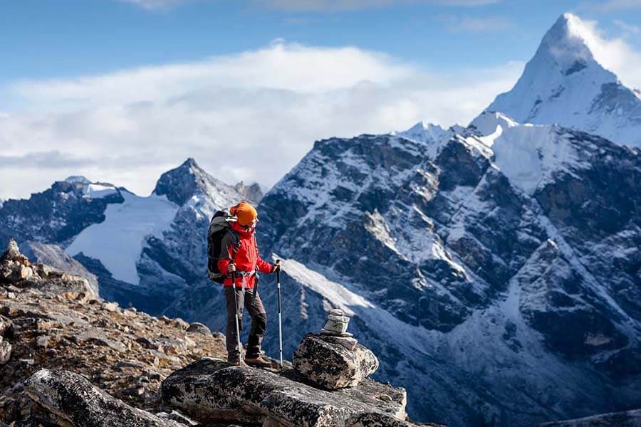
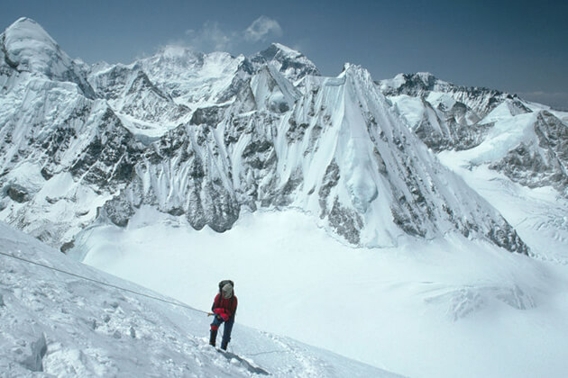
About the Himalayan region (above 3.000 m), it is a combination between mountains, alpine pastures and temperate forests that are limited by the tree-line (4.000 m) along with snow-line (5.500 m). The region converges 8 of 14 eight-thousanders of the worlds like the Annapurna (8.091 m), Manaslu (8.163 m), Dhaulagiri (8.167 m), Cho Oyu (8.201 m), Makalu (8.463 m), Lhotse (8.516 m), Kanchenjunga (8.586 m) and Mount Everest or Sagarmatha (8.848 m). The inner Himalayan valley (above 3.600 m), we have the Mustang and Dolpa that are the two cold desert yet they also the two famous trekking trails for those who are both big trekkers and newbies. With a dense river system that contains up to 6.000 rivers including the perennial rivers and medium-sized ones, Nepal holds a so-called Water tower of Southeast Asia.
Nepal Geography – Natural Landscapes
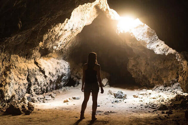
In Nepal, there are 9 Ramsar sites that are globally recognized: Mai Pokhari, Rara (Mugu), Phoksundo (Dolpa), and Gokyo (Solukhumbu) in the mountain zone along with Koshi Tappu Wildlife Reserve, Ghodaghodi Tal (Kailali), Jagdishpur Reservoir (Kapilvastu), and Beeshazarital (Chitwan) in the Terai. Furthermore, more than 30 natural caves have been found in Nepal and only a few of them are accessible by road. Among of these 30 caves, there are several the most famous ones like the Siddha Cave is close to Bimalnagar along the highway from Kathmandu to Pokhara, and the numerous caves surround Lo Manthang in Mustang including Tashi and Luri Kabum housing old-aged murals and chortens dating back the 13th century. I believe that having beautiful natural landscapes is a reason making people decide to have Nepal tours for their vacation.